Hydro-political dependencies between countries are widely regarded as having important implications for international water cooperation and conflict. Quantitative research on the subject thus far uses very simple characterizations of international river geography to proxy for such dependencies, most prominently upstream-downstream or contiguous international river geography, which is established through visual inspection of maps.
Lucas Beck, together with the Center for Comparative and International Studies from ETH Zurich, has developed a new geospatial dataset for global surface waters that combines remote sensed elevation

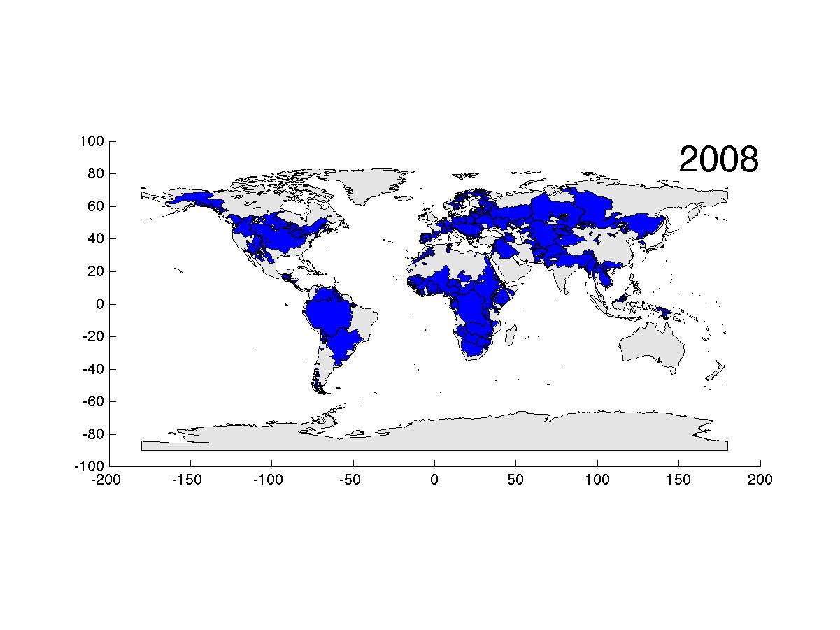
Figure: Satelite derived basin topology and delineation
models, flow accumulation approaches, hydrological and climatic data, and data on international boundaries to generate more precise and nuanced measures of hydro-political dependencies among riparian countries in international river basins.
The new dataset measures hydro-political dependencies in terms of how a riparian country is positioned relative to other countries in the same international river basin or in all basins, taken together, that it shares with other countries, and to what extent a river basin as a whole is up- or downstream dominated.
Combined with a simple representation of a global hydrological model using precipitation, evapotranspiration, and flow interdependence, the dataset is able to represent the complexity of the international political geography of water catchments better than any other dataset.
Among many applications, the new data can specifically be used as a basis to explore risks of international water conflicts and opportunities for cooperation under specific boundary conditions, for instance climatic changes and changes in levels and patterns of water demand.
This dataset will be available for download and is in publication. The article can be downloaded here: PaperBeckEtAl